2021-10-07T16:45:00Z New editing day has started, overnight while I slept terra incognita finished downloading last corner piece.
2021-10-07T18:25:00Z Global mapper was exporting satellite texture in 8 x 8 grid tiles.
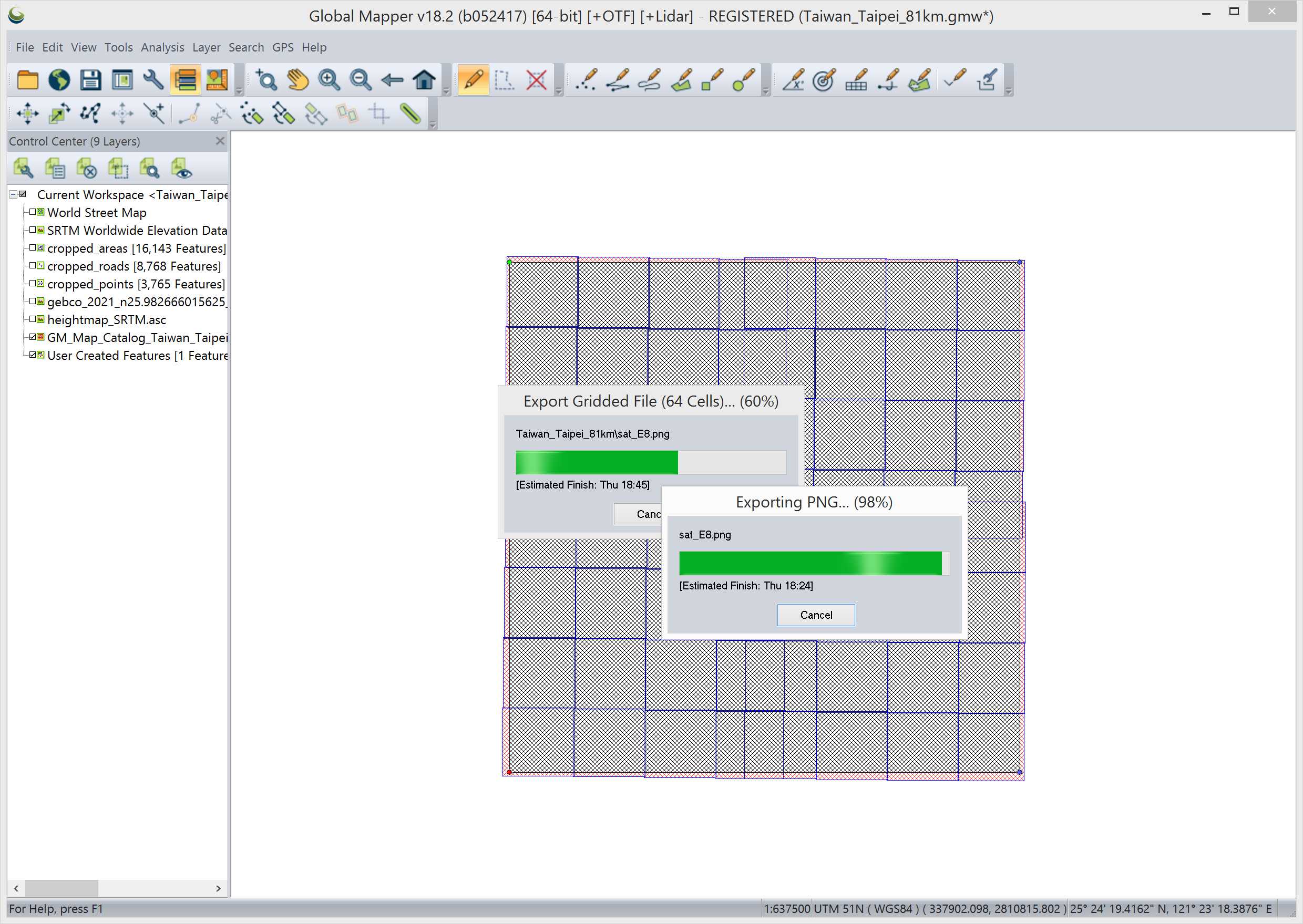
2021-10-07T18:57:00Z Global mapper finished exporting and I had inspected first row of satellite texture tiles, meaning sat_A1 through sat_A8 PNG images. They were ALL full ocean tiles.
This made me think that arma3 does not use ocean and its bottom, not really. Sure we have diving so saying "ocean bottom is not used" is not technically true, but when you have 81km terrain with few (several?) kilometers of just empty ocean... that is huge amounts of megabytes in satellite texture/mask images wasted for no reason. Even if you were enthusiastic diver or wanted to drive/sail boats a lot... its a huge vast ocean out there plenty of space to do that without needing so much empty water.
Hmm not sure if I'm going to re-design current taipei coordinates but I will definitely write empty ocean thoughts (empty thoughts? haha) down for future reference and additional terrains the land mass MUST be bulk of the terrain coverage.
Two terra incognita ArcGIS exoported Black Tiles on sat_B3 tile image. Doesn't matter as its ocean, but if more such black tiles appear over landmass, then we have an issue.
Went through all satellite texture tiles in GIMP to make a list of stuff to fix.
Full ocean tiles: sat_A1 - A8 whole full row. sat_B1 - B3, B8, C1
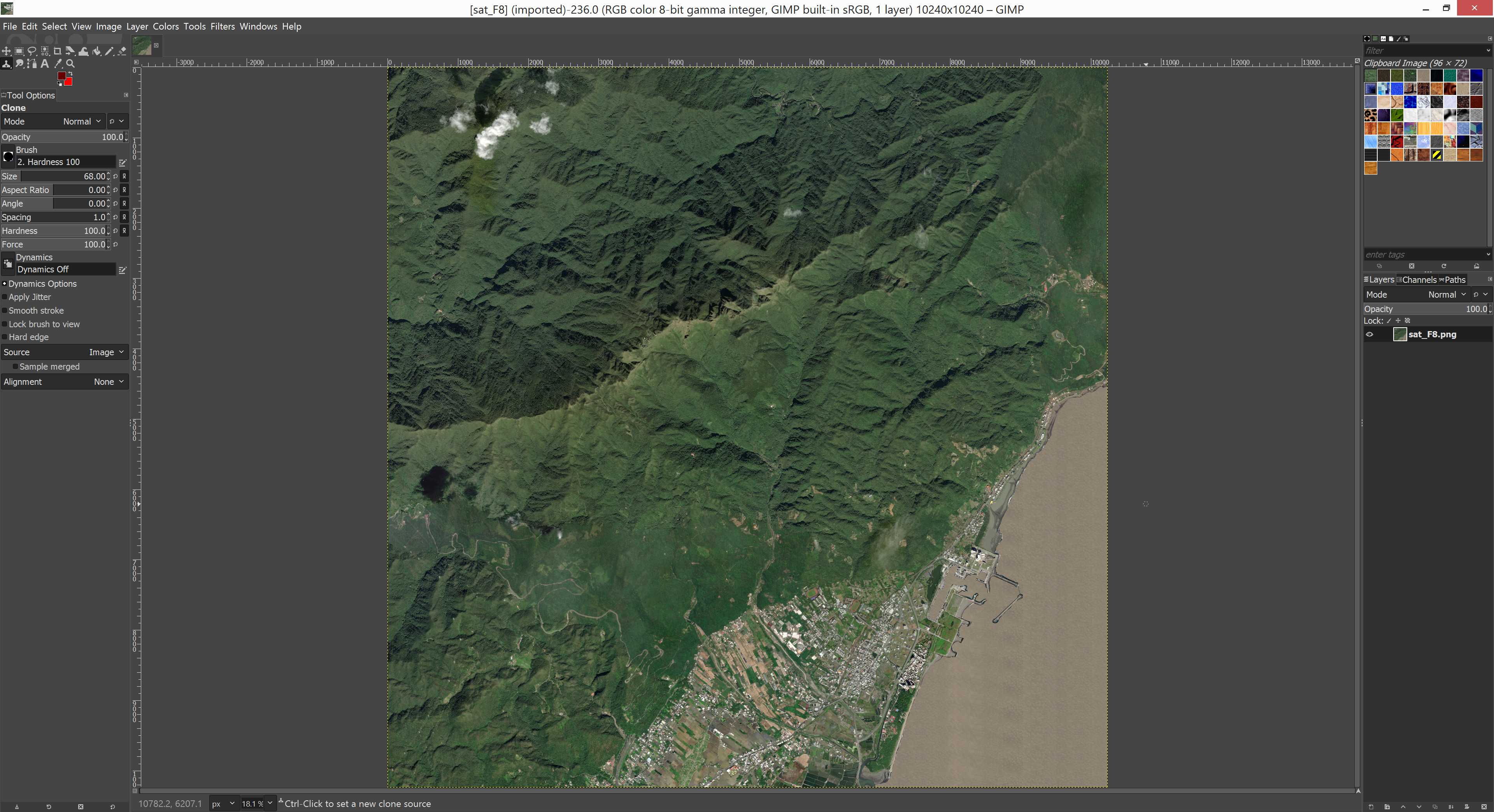
Coastline tiles: sat_B4 - B7, C2 - C4, C7, C8, D1, D2, F8, G8, H8
Clouds: sat_C5, C6, D6, D8, E2, E5, E6, E8, F6 - F8, G3, G6 - G7, H2 - H6
Black tiles: sat_E4, G8, H5
Arcgis world imagery satellite quality was actually quite bad overall, its fine but was still surprising, I thought taiwan would have better coverage. For example PMC Israel Gaza Strip 81km terrain has absolutely perfect satellite imagery.
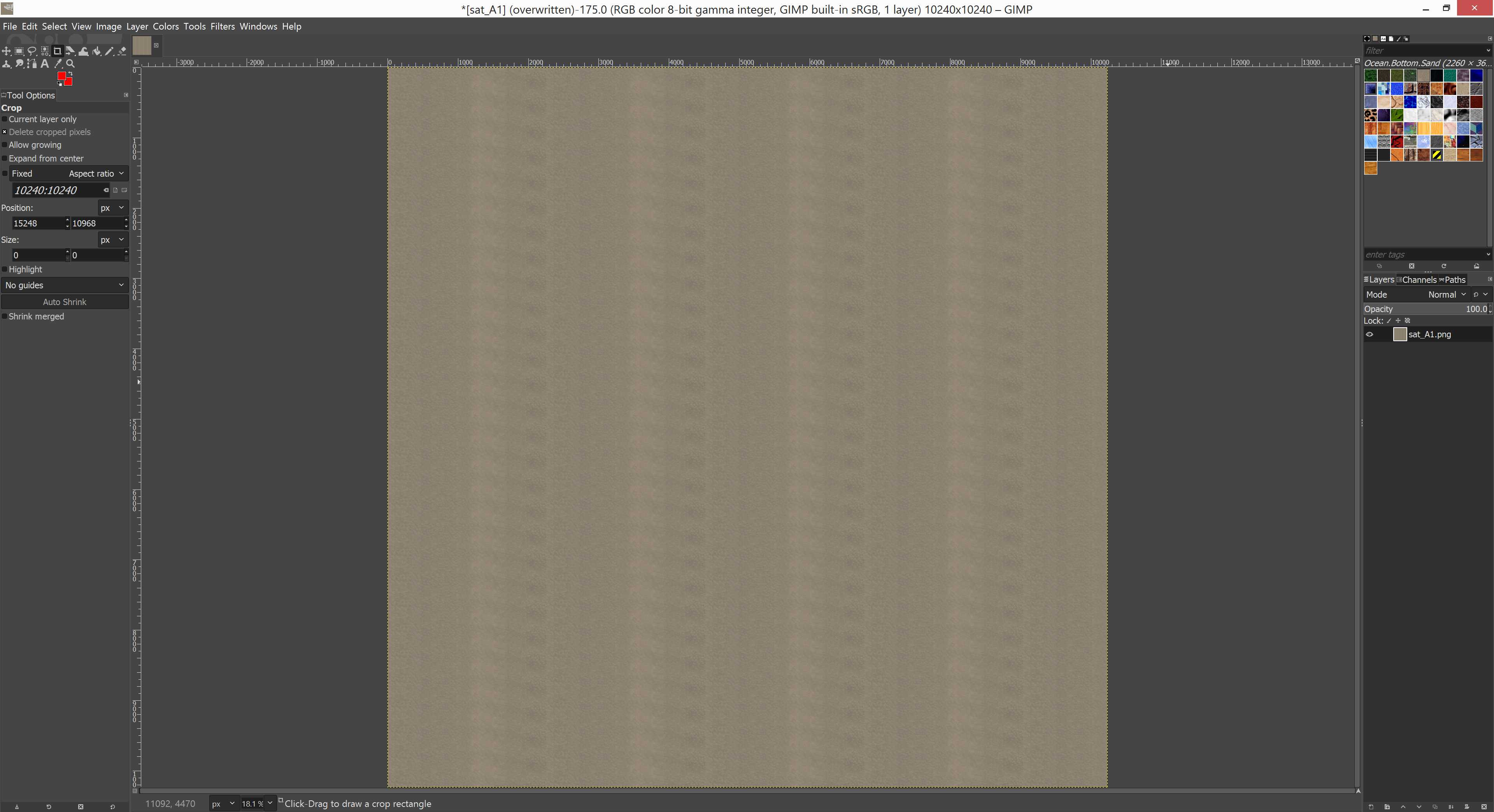
Created _run_ocean_sat_A1_copier.bat file which copys sat_A1.png image into all the other full ocean satellite texture tiles. No point of painting them all individually when you can just copy A1 over the rest. This is also why having a lot of water in arma3 terrains feels so dumb, why waste perfectly good satellite texture/mask space for something which is not used much (or duplicate area).
I'm not happy how my ocean seabed sand seed texture looks like, but its what I have now.
2021-10-07T20:31:00Z I'm now GIMP painting the coastlines, this is very accurate work, need to be careful how to use free hand selection tool and draw along the coast. There are many spots where you cant really tell from the arcgis world imagery if its ground dirt/sand or just some murky water, but heh well you just have to use your best judgement then ![]()
But yeah this is another not "hard" work but, something like that, this certainly is not an easy or quick task. Anytime you create terrain with coastlines, be ready for the additional satellite texture / mask and heightmap work it requires.
Was GIMP editing those coastlines for satellite texture and messed up, I did file -> overwrite to save the PNG and then proceeded to color mask while it was still saving, well naturally it saved pixel by pixel live so image turned like mixture of texture and mask, heh hilarious. Only ruined three images but overall effect is that I had to re-export satellite texture from global mapper, another half an hour job. Oh well. I wont be making the same mistake ever again.
2021-10-07T22:07:00Z Global mapper finished re-exporting, created sat_A1 as ocean seabed sand texture, then copied it over to all other full ocean tiles.
2021-10-07T22:46:00Z Had a lunch and now just finished GIMP painting sat_C4 which was the last tile I did before discovered my mistake. Now we continue as if nothing happened heh.
2021-10-08T00:04:00Z Finished GIMP drawing coastlines, uuh that was a lot of work.
Used terra incognita to re-save (not download, just save) satellite corner pieces to fix the random black tiles. Its unfortunate that terra incognita seems to create these buggy tiles sometimes, its rare but still ruins the party when you find one or more in your satellite texture. Now I had to create a new tool pipeline task to check new terra incognita downloads using irfanview, just to make sure they don't need to be re-saved.
2021-10-08T02:52:00Z In GIMP fixing clouds, clone stamp tool brushing them off. Not very fun to destroy satellite imagery, but the fact is that having pure white clouds in satellite looks much worse than anykind of fake clone brushing. White clouds are eye sore in satellite texture.
Depending on the severity of clouds, it takes close to 10min to clone brush one satellite tile.
Before and after.

2021-10-08T04:49:00Z Finished GIMP clone brushing clouds off, Darken Merge Picturemap Satellite Texture Tiles with GraphicsMagick. Next would be satellite mask creation but my tool pipeline does not have that information, not even "do mask" simplicity heh. Basically I should use vegetation shapes in global mapper, assign layers.cfg colors to them and then export mask tiles from there, after that would have to fix the background white color for those areas which did not have shapes.
Continue reading page 3, previous page 1 or back to Dev Diary PMC Taiwan Taipei root page.
PMC Taiwan Taipei: Changelog, Dev Diary, Screenshots. Back to PMC Terrain's page.