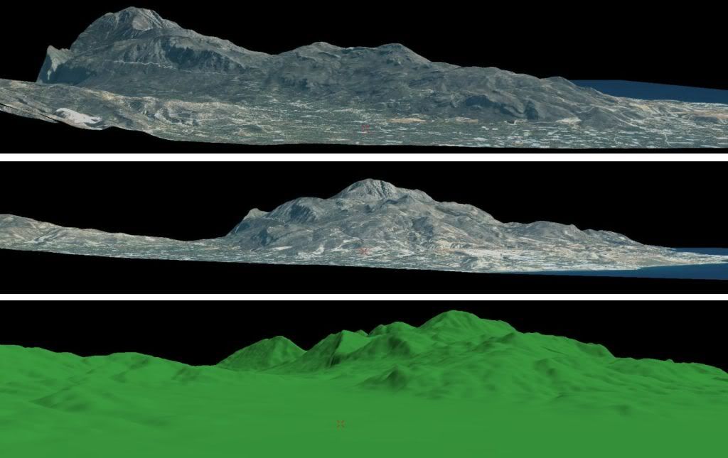
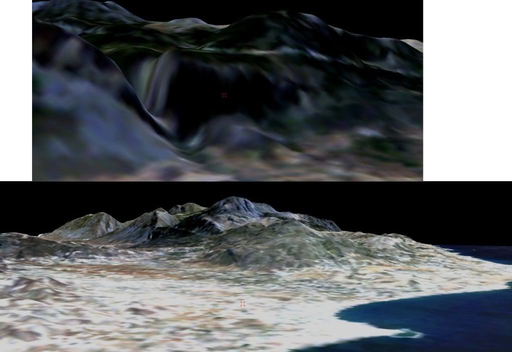
The DTM have 90% real position coordinates and as you can see from the attached image it is showing very realistic.


http://img.photobucket.com/albums/v11/GERAKI/dtm_4.jpg
http://img.photobucket.com/albums/v11/GERAKI/dtm_5.jpg
http://img.photobucket.com/albums/v11/GERAKI/dtm_6.jpg
[video]http://www.erdas.com/Portals/0/Files/de ... t_VGIS.mov[/video]
http://www.erdas.com/portals/0/files/sc ... argets.jpg"]http://www.erdas.com/portals/0/files/sc ... argets.jpg
http://www.erdas.com/portals/0/files/sc ... action.jpg"]http://www.erdas.com/portals/0/files/sc ... action.jpg
Some demo
http://www.erdas.com/tabid/84/currentid ... fault.aspx
Go to demo tad , you can use the save as option also.