


For you tile gurus out there, is there anything you notice wrong with this that I need to correct in the future? These are 512x512 tiles....creating them in a montage order.
Edit: This post has been updated with the additional tiles I have finished.
Moderators: Snake Man, Lone Wolf
@ 87th_Striker (or anyone else who might know):87th_striker wrote:I think it's excellent, some oil installation type of harbour would also be cool. Maybe CCC could come up with an offshore oil rig of some type, too ?
As a general note on coastal tiles, it's smart to make a set with roads on them, cause if you get hilly terrain and need to place first a coastal tile, then a road inside, the roads look strange since they are placed on a hillside.
BTW, 87th_Striker,87th_striker wrote:I think it's excellent, some oil installation type of harbour would also be cool. Maybe CCC could come up with an offshore oil rig of some type, too ?
As a general note on coastal tiles, it's smart to make a set with roads on them, cause if you get hilly terrain and need to place first a coastal tile, then a road inside, the roads look strange since they are placed on a hillside.
Thx Jody.marvin157th wrote:Sherlock,
Incredible work!! That is gonna make a huge difference in the theaters.. Too bad we could not tile a whole theater that way!
Jody

Those two tiles go together as a set of 2. HCITYD1D goes on the right and HCITYD1B goes on the left. HCITYD1B will line up with the normal river tiles when they are positioned above it. HCITYD1D is the outlet tile going through Bandar Abbas city to the sea.Snake Man wrote: Group1\HCITYD1B.pcx
Group1\HCITYD1D.pcx
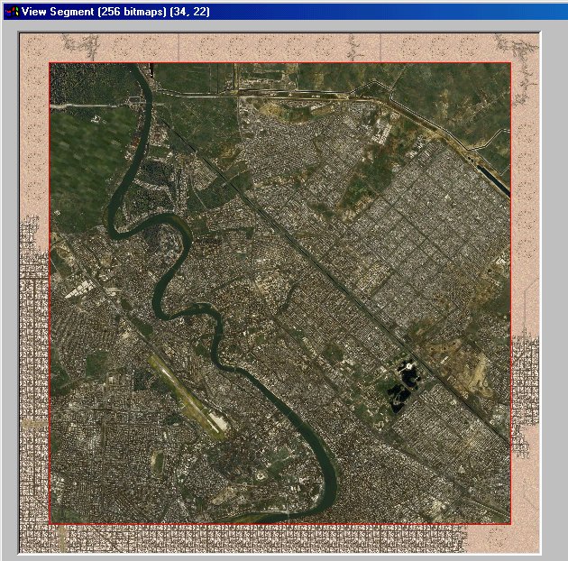
Those river tiles arent working, the river is not aligning center. I believe the road and river going in/out in a tile is dead center coordinates(?). At least I'm sure its not off that much. Or am I wrong?
What are the problems so I know next time what NOT to do?Snake Man wrote: Group2\HCOST00A.pcx
Group2\HCOST00C.pcx
Group2\HCOST00D.pcx
Group2\HCOST00E.pcx
Has some graphics anomaly on the bottom right hand corner.
Other than that, they look very nice, good work!
I've got the fixes done and will email them to you this evening (I can't get to my web based email from work; they are blocking any uploads/ downloads ***the bastards!***Snake Man wrote:The graphics anomaly the few pixels of light color in the ocean. Yes please fix them and resend just the fixed ones, that'll be good.
Email sent.Sherlock wrote:I've got the fixes done and will email them to you this evening (I can't get to my web based email from work; they are blocking any uploads/ downloads ***the bastards!***Snake Man wrote:The graphics anomaly the few pixels of light color in the ocean. Yes please fix them and resend just the fixed ones, that'll be good.).
So look for my email later tonight.
Snake Man wrote: Just let it go man, its been tried and deemed not practical.
