Tutorial to come in a few days.
Moderators: Snake Man, Lone Wolf
When Bluey says Geographic Data, he means a 'Mercator projection', where the dataset is projected in a way where all longitude lines are parallel; same kinda projection as the original Korea Theater...Snake Man wrote:Geographic data... I'm dumb, guys please draw me a picture here, was I right, is Israel L2 made with perl scripts ie non-spherical?
Snake Man and I discussed the Iran theater but we are holding off submitting for SRTM update because the objectives may change. When we are sure of the objectives we will submit for SRTM to Blueprint.ccc wrote:out of curiosity.. has any SRTM request for ODS/Iran/Afghanstan being sent to Blueprint?
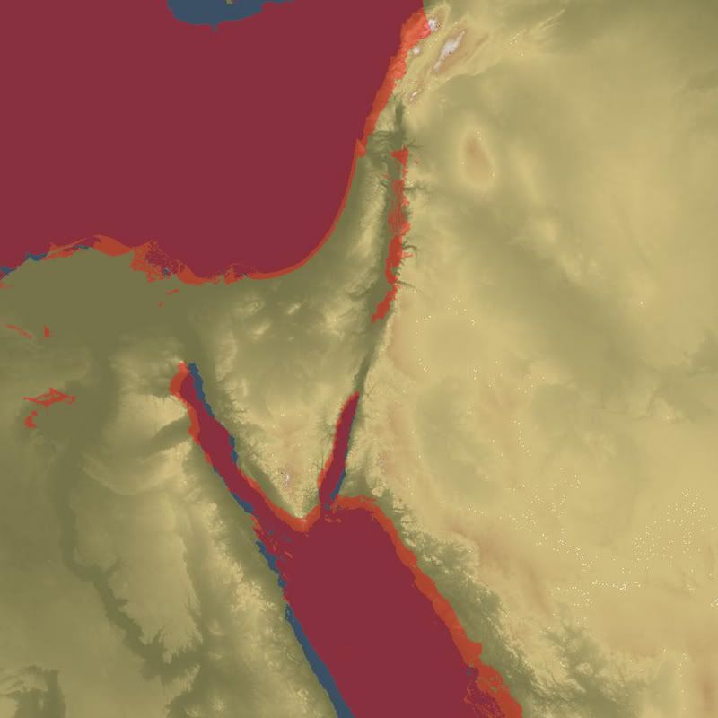
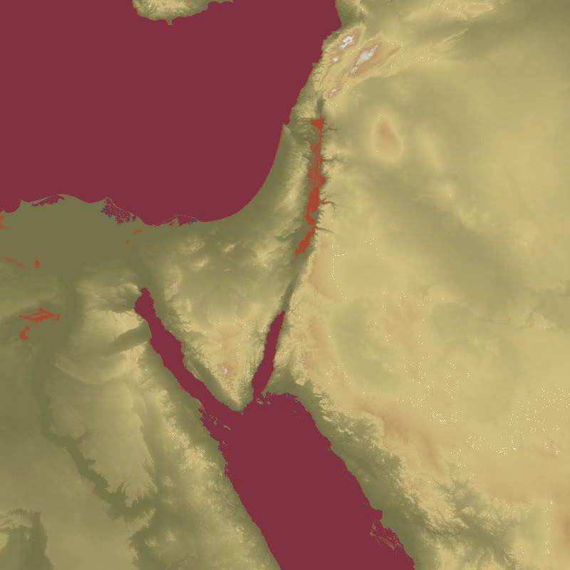
my recent test in SRTM israeli shows SRTM do great job at moutaneous areas, the flat desert may not show big differences.

I have a question.Zaggy wrote:When Bluey says Geographic Data, he means a 'Mercator projection', where the dataset is projected in a way where all longitude lines are parallel; same kinda projection as the original Korea Theater...