I know ALL about the 14 day trial...

I pretty much need a crack tho...
BUT, i went thru my old back up CD's from Dec2004/Jan2005, and guess what i found???
Found my Parsing Tool, as well as the RAW converted data, from FME! So i just need to 'rediscover' my procedures (cos i cant find the procedure list i THOUGHT i had), and were in business... I THINK with the data in the state it's in, its a case of cut/paste some stuff that needs to be run thru the parser and reformated, paste the results back in, then modify the header back to what it is in the ORIGINAL e00 file (cos DEM2Terrain wont work, if you leave the modified header that FME creates)...
Give me a few weeks... Been sick (Again) and have LOTS of school-work to catch up on...
Sorry...
And yeah Rex, IDL will screw all West Longitudes, unless there is a work-around i dont know about, or the code has since been modified.. ie:
Code: Select all
// longitude (double) is the theater longitude, ie, can be greater than 180
// displayLongitude (double) is the longitude that 'pilots' see (eg 172W)

if(longitude > 180)
{
    displayedLongitude = 180 - (longitude - 180);
}

// and then to go back
// displayLongitudeDirection (char) is the E or W on the displayed
// logitude the 'pilot' sees

if(displayLongitudeDirection == 'W')
{
   longitude = 180 - (displayLongitude - 180);
}
Very basic, but a concept none the less... But i know SFA about the F4 code...
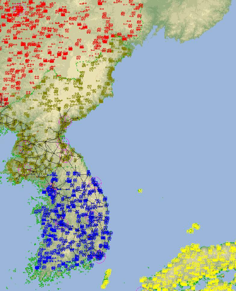
I found the L2/O2 and my 'fixed' TDF's for Bering Straits too (IIRC, i had to render the TDF's separately for each side of the IDL, then merge the two... So in a way, i created THREE theaters --> 1, Far East Russia; 2, Alaska; 3, Bearing Straits (ie, the combined DEM's). I had to do this, because DEM2Terrain doesnt understand the e00's loaded for the OTHER side of the IDL. Its looking for >180E, when the e00's are registered to <180W>)...