2021-10-21T12:56:00Z Created this page.
Started Terra Incognita downloads for 4 corner pieces of 45km x 45km selection even though NOTHING ELSE has been done yet, haven't selected center coordinates or created Global Mapper project yet. I just want to use time wisely to download that satellite imagery which takes 8hrs or more.
Most likely I wont be returning to this dev diary / terrain for many days now heh. So "KTHNXBY!" ![]()
2021-10-23T09:01:00Z New editing day has started, todays agenda is PMC Taiwan Kinmen terrain. Interesting day, haven't even decided what size of this terrain will be, its position of course is obvious; kinmen island.
Created 00.txt real world data terrain tool pipeline text file taiwan kinmen task lines. Okay lets get to work.
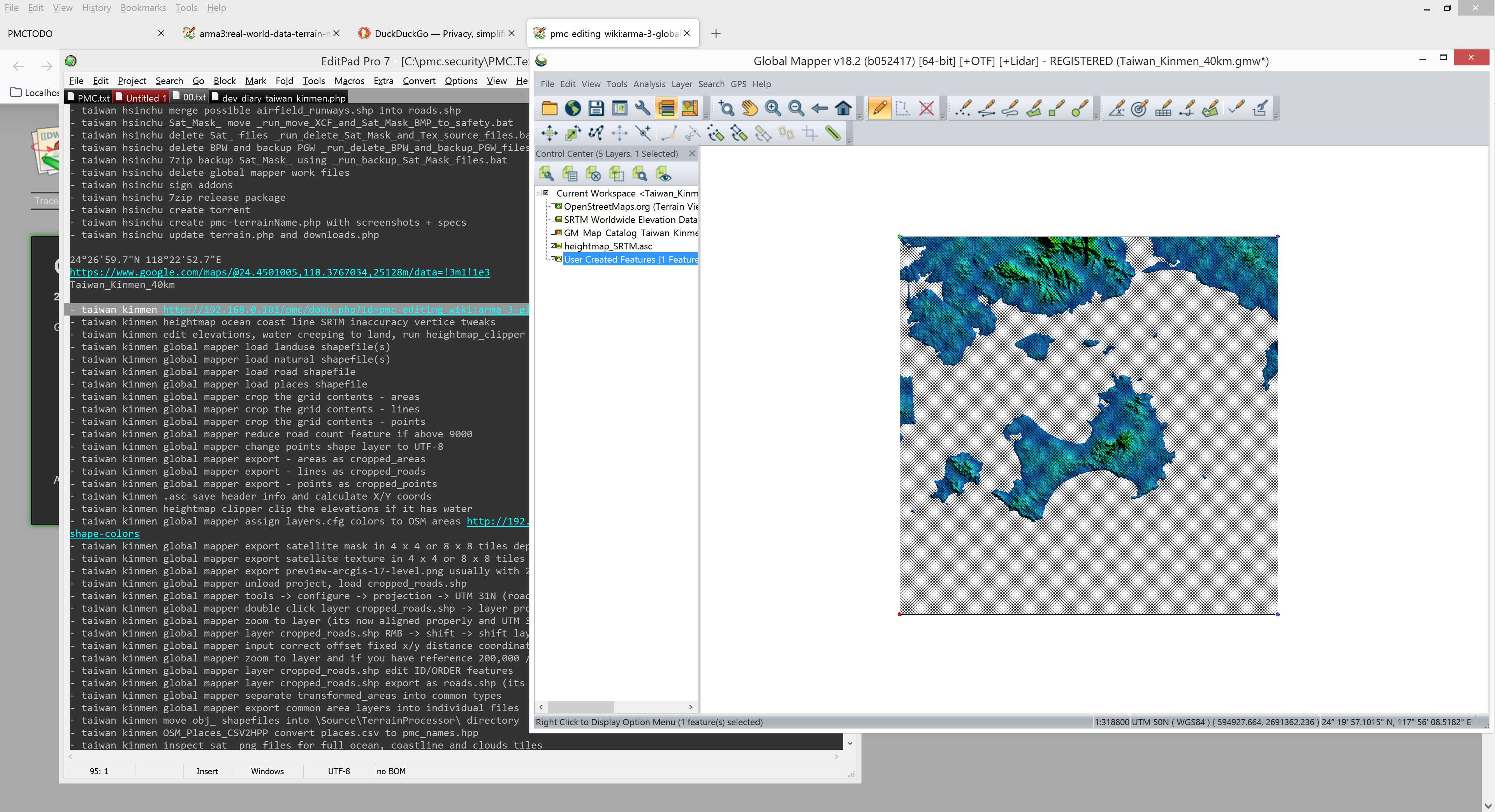
Used google/maps to pick the center of the terrain just to get the coordinates and fancy dev diary video heh, created global mapper project and switch it to UTM Projection which came out as 50N zone.
Had a huge dilemma about size and location, quickly chose 65.5km and positioned user feature grid roughly so that kinmen is just SE from center position. 65.5km is quite large terrain for this kinmen island, its rather small island, it could be even done as puny 20.4km terrain but that has no china mainland then, now in my 65.5km coordinates there is more china than taiwan in this terrain...
Hmm that actually makes a good point, if it has more china than taiwan... why are you calling it taiwan then? Hmm interesting ![]()
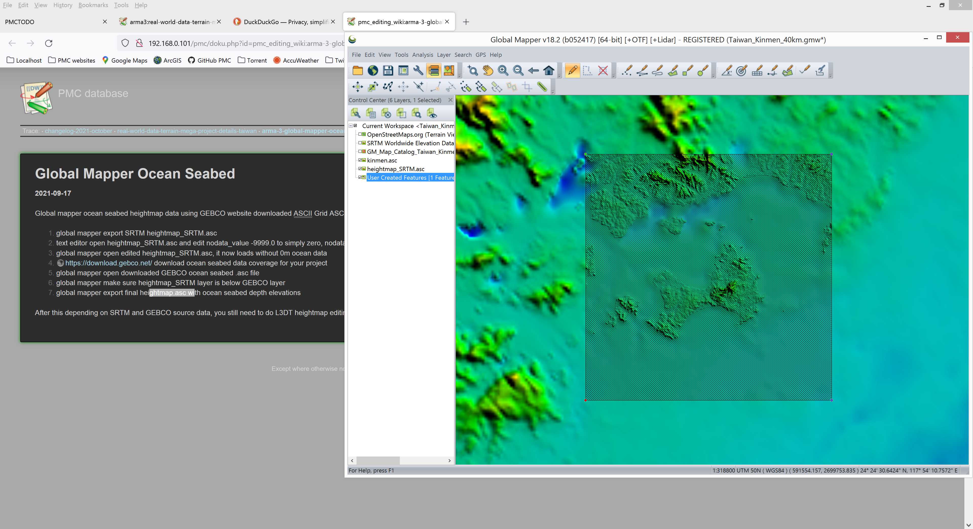
Chose 40km x 40km terrain size instead. Then proceeded to setup global mapper map catalog and added SRTM ASCII Grid heightmap.asc source, exported it and did the nodata text edit to remove ocean data, then imported back to global mapper. Now all 0m elevations are gone.
Here you see GEBCO ocean seabed heightmap data on the above layer and SRTM on bottom layer, you can clearly see the difference of 30m resolution SRTM in our grid and the big blob of blurr around it which is the very low res GEBCO data (as ocean bottom doesnt need such details).
Then loaded OpenStreetMap (OSM) shape files, they did fill kinmen island but obviously left out china mainland as I only had taiwan OSM files available, so had to go download china OSM as well. That will be interesting as its huge country and most likely need to have data split to different regions for file size wise.
China was one OSM file chunk, surprising, it was 1.6gb in size, not so surprising ![]()
Global mapper assigned colors to OSM area shapes, then started exporting Sat_Mask in 4 x 4 grid tiles.
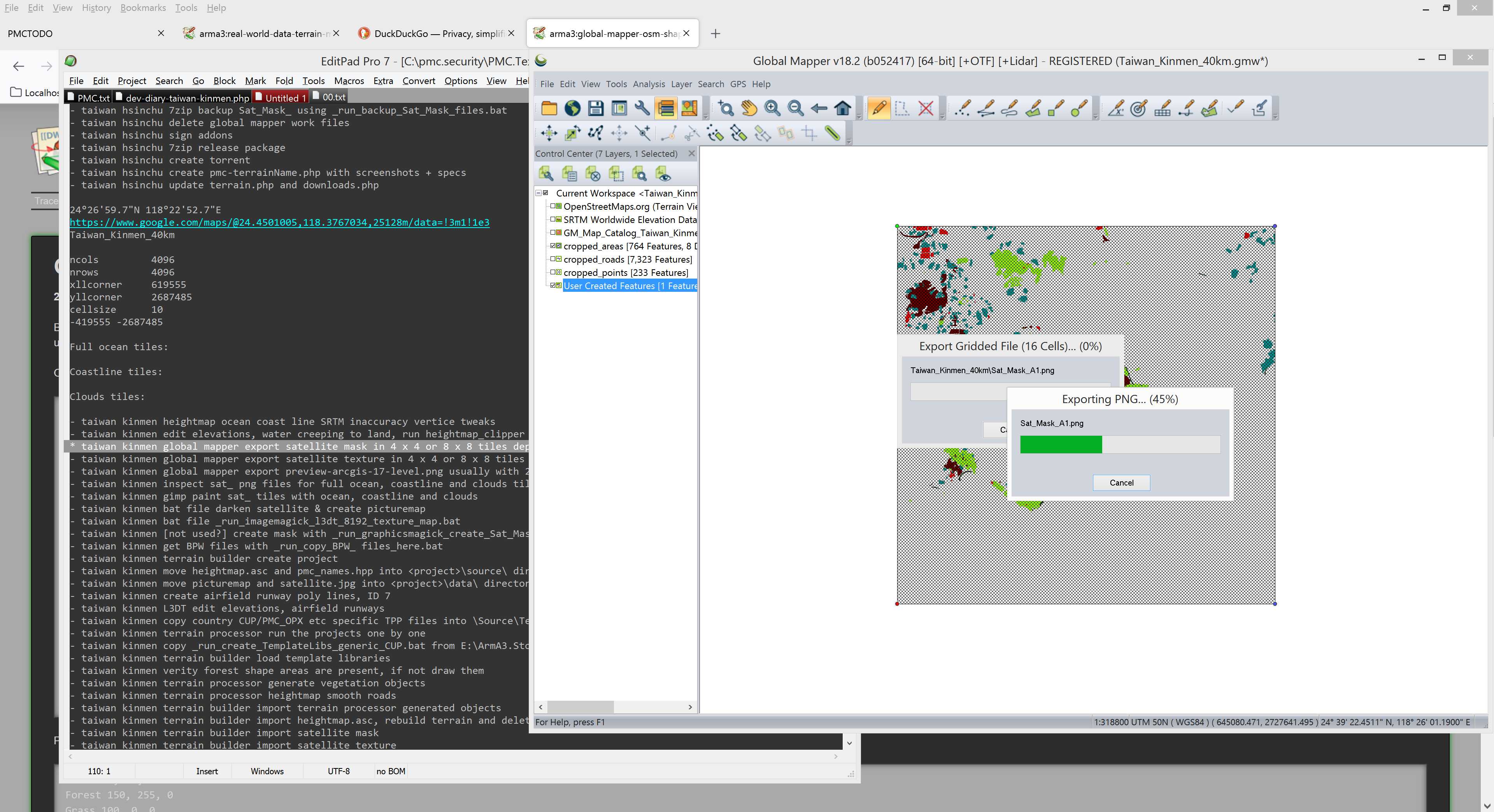
2021-10-23T11:01:00Z Moving fast again, no time to dev diary writings heh, global mapper finished exporting satellite texture / mask tiles, GIMP inspected them and what an horror coastline awaits for me again. Started GIMP paint those now, uuh.
2021-10-23T12:01:00Z Finished painting coastline, it was pure horror. I actually quite cheated the last two tiles, I just had no more patience to do it so I did the selection in zoomed out mode meaning there will be a lot of overlap in the selection line. Ugh.
Then GraphicsMagick was used for Darken Merge Picturemap Satellite Texture Tiles.
Got terrain processor files started, but then it was...
2021-10-23T12:36:00Z Chow time, I'm starvin'...
2021-10-23T13:00:00Z Feeding done, back to taiwan.
Next was to Terrain Builder import objects, those obj_forest Terrain Processor ones. Then to import satellite mask and texture.
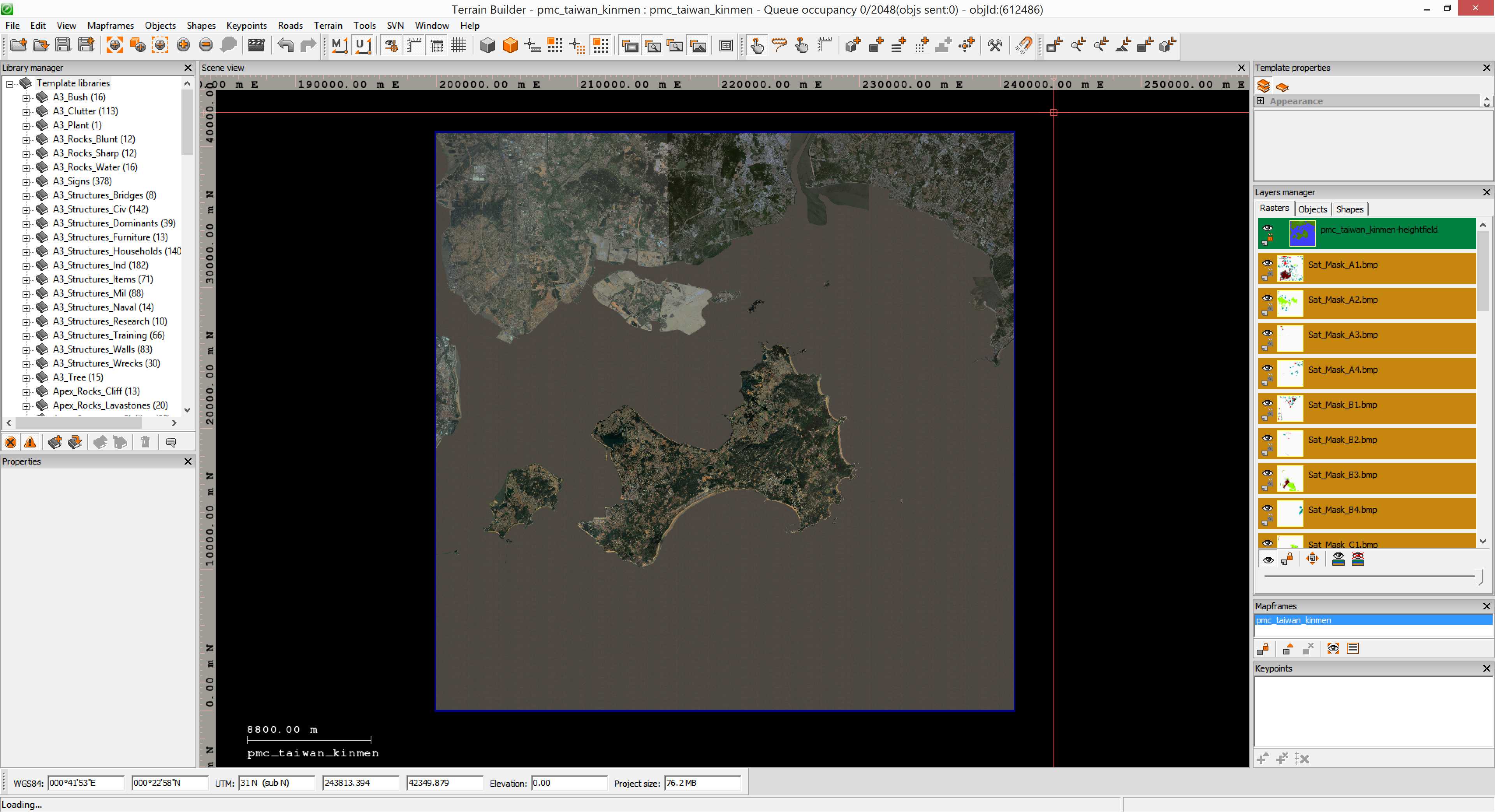
Then generate layers, its only 40km terrain so wont take too long to chop one satellite up to pieces. In the mean time I did Latitude / longitude config.cpp lines and exported preview-arcgis-17-level.png out of global mapper. This preview image is mostly used for my own reference that I can at any time check current satellite(s) source image.
2021-10-23T14:11:00Z Alright pboProject binarizing started, that wraps up the editing for now (more editing later).
Continue reading page 2 or back to Dev Diary PMC Taiwan Kinmen root page.
PMC Taiwan Kinmen: Changelog, Dev Diary, Screenshots. Back to PMC Terrain's page.