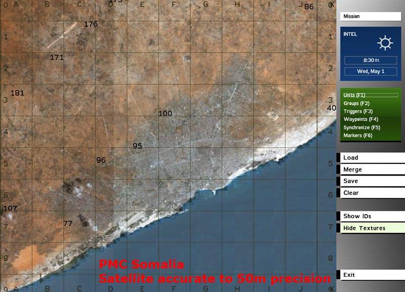
Now with help of Nicholas Bell (thank you man, for all your v3 / satellite related info and support) I've created the first terrain for ingame testing with the new satellite texture.
Distances are accurate to 50m precision!
I like this realism a lot
Almost the whole terrain in view

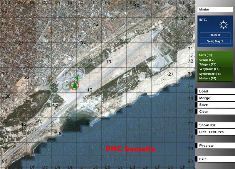
Mogadishu international airport

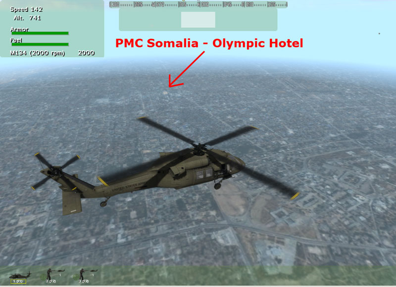
Olympic Hotel in sight

There is no objects placed at the moment, I just wanted to make absolutely sure the scale is correct and all looks good to go before I commence into WrpTool road placing. I have everything setup, a 2538x2538 overlay bitmap done for WrpTool so I can see where the roads are placed. There is quite much road placing so dunno how long it will take when I get to it.
Everything is looking good so far.