2022-02-26T03:41:00Z New editing day has started, todays goal is to delete randomly placed buildings and meadow bushes, then create brand new satellite texture/mask from 2022 OpenStreetMap (OSM) and ArcGIS 17 level satellite imagery data.
2022-02-26T03:47:00Z Started to export satellite texture from Global Mapper.
In the mean time edited mod.cpp, added version number 0.3 and formatted it nicely without useless comments. Then started terrain builder and deleted randomly generated building object layers, then removed meadow bushes.
There is still the "grass" objects layer but I cant recall what terrain type that is, it could be for the fields and if thats the case then I have to remove that too. Overall I should re-generate all vegetation objects with latest Terrain Processor projects.
Deleted raster layers for placeholder satellite mask and then the Dsat_*.bmp satellite textures as well, then changed mapframe properties for satellite size with 1m/px scale using 2048 x 2048 pixel resolution surface mask tile.
Downloaded GEBCO ocean seabed heightmap data block, but cannot do anything with it because global mapper has ukraine mariupol project open (cant edit it in second global mapper instance).
Now I'm just waiting for global mapper to finish exporting satellite texture tiles and that will take hours. This sucks, I want to continue editing non-stop, but man its difficult with dev diaries etc. Right now I'd like to start creating the next new ukraine terrain, most likely kyiv (soviet commie scum call it "Kiev") but kind of hesitating because all the dev diary overlapping, especially video recording.
But... I have to do it, I am not going to sit here for couple of hours waiting for global mapper.
2022-02-26T06:33:00Z Global mapper finished exporting satellite texture tiles. Started to load them into GIMP and to make a list of cloud tiles while clone brushing the cloud puffs off.
Satellite texture tiles with clouds: A4, C7, C6, D8, D7, D6, E8, E7, E6, G1, H1
Coastline tiles: F3, F4, F5, F6, F7, F8, G2, G3, G7, G8, H1, H2
Ocean tiles: G4, G5, G6, H3, H4, H5, H6, H7, H8
2022-02-26T09:48:00Z Finished GIMP clone brushing cloud puffs off, cooking food and eating.
Then started the satellite texture/mask coastline editing, to paint ocean seabed texture and also create masks for these coastline tiles.
2022-02-26T12:55:00Z All coastline satellite texture/mask tiles are done. Well the mask tiles are still GIMP XCF format because first I have to export the OSM shape area mask stuff out of global mapper.
2022-02-26T14:15:00Z Was global mapper assigning RGB colors to OSM shape areas when it was time for a lunch break. Odd feeling, this day has passed again really quickly, watching ukraine war news, live streams, videos etc while editing. Feels like I just got started but yeah, third meal of the day already, "soon" its bed time heh.
2022-02-26T15:09:00Z Lunch break is over, back to editing OSM area feature RGB colors.
2022-02-26T15:24:00Z Started global mapper exporting satellite mask tile images.
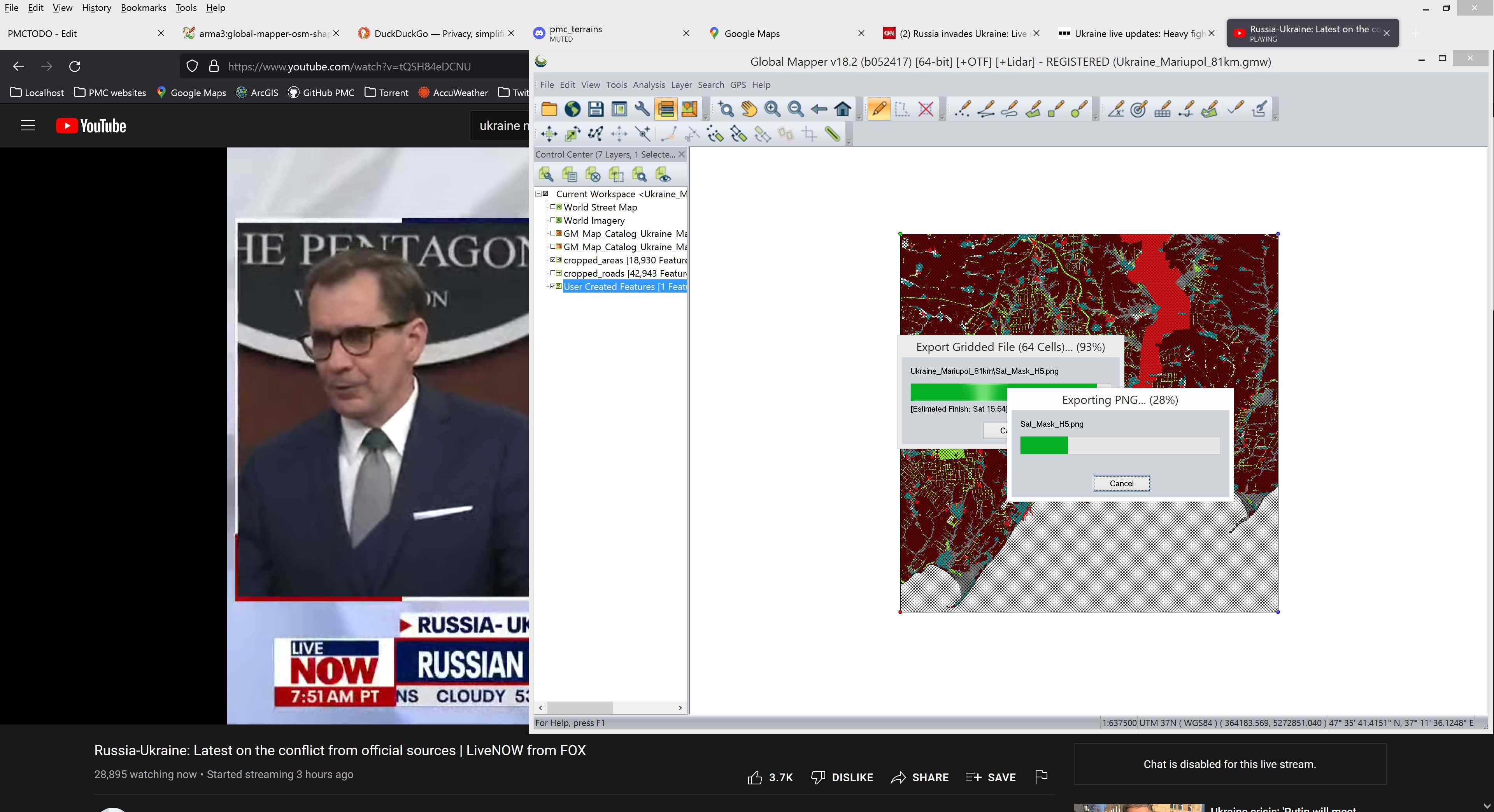
Global mapper is working hard and I'm watching / listening The Pentagon Press Briefing on the background ![]()
And keep forgetting to update dev diary heh, finished exporting mask tiles, then reduced new roads feature count and exported them along with areas.
Then GraphicsMagick converted satellite texture/mask PNGs into properly adjusted BMP image format, all ready for terrain builder importing.
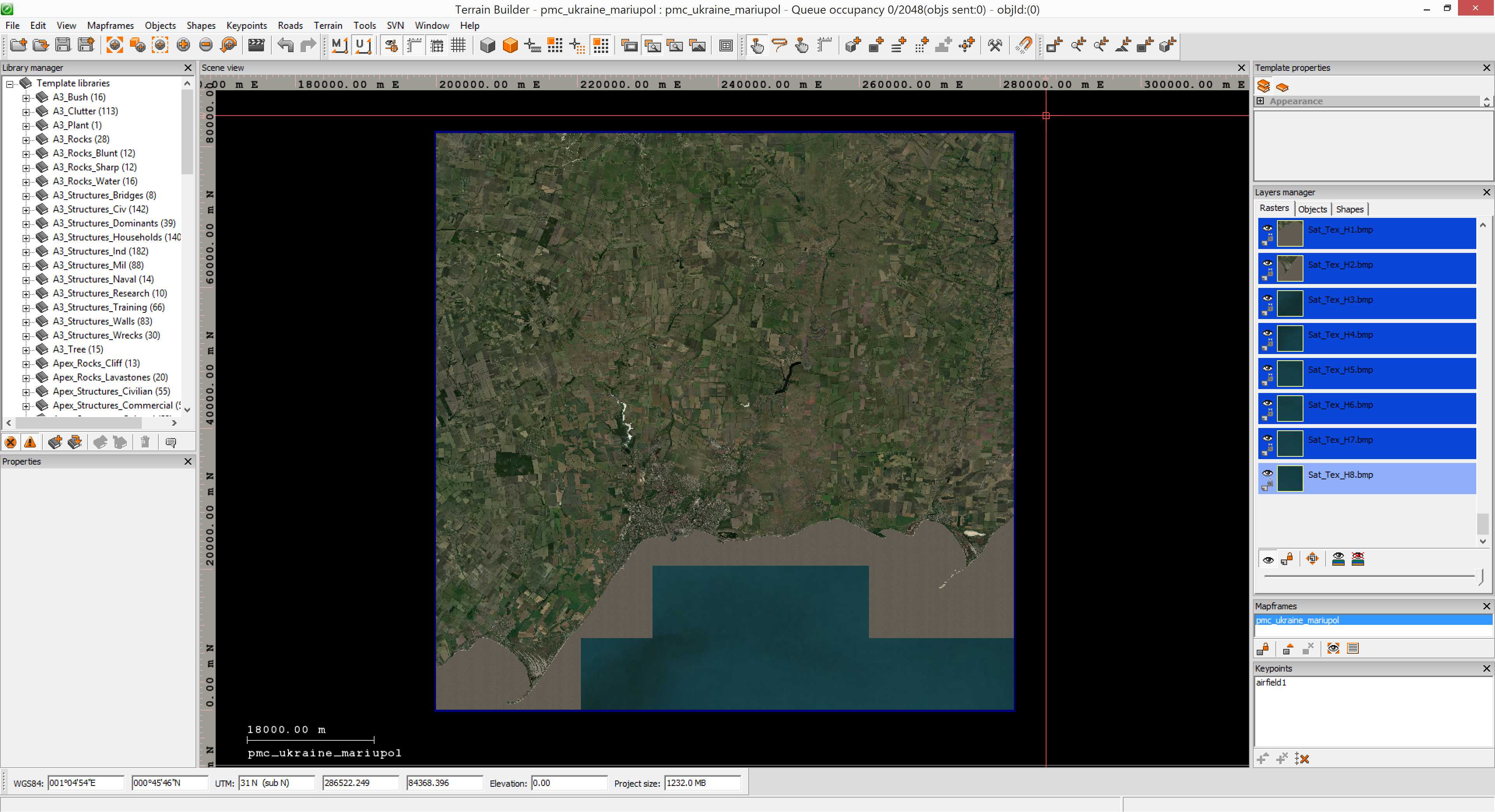
2022-02-26T16:41:00Z Started to terrain builder import satellite images.
While satellite mask and texture was importing, I took backup of TerrainProcessor/ dir files and copied new obj_forest.shp files there.
Configured terrain processor TPP file for forest generation, surprising that I managed to get the roads.shp path correct with first guess heh. Well ok it was not really a guess, I windows file explorer browsed into _data\roads\ dir and counted the ..\..\.. things so yeah guess there is little change of going wrong. Overall terrain processor is very picky about those things and immediately crashes if they are wrong, so yeah.
2022-02-26T17:17:00Z Terrain builder finished importing satellite texture/mask... but unfortunately because I was just editing from memory... I forgot one small but important step, replace the full ocean tiles with actual seabed texture, uh oh.
Well its not a big mistake, I can just do those tiles and refresh from source in terrain builder. But yeah things like that happens when you are not following a strict tool pipeline text file.
From now on; no edits without following tool pipeline text list.
Also I forgot to do the satellite mask ocean coastline tile merging, oh man this is such a row of mistakes hehe ![]()
Did experimental single RGB color ocean bottom texture tile, copied it over to rest of the full ocean tiles, then ran graphicsmagick all over again and imported the full ocean tiles one by one into terrain builder. Decided to skip the mask fixing now. Started to get pretty tired for today already, don't have much editing time left before its bed time.
2022-02-26T19:05:00Z Started terrain builder generate layers.
Then called it a night and went to sleep.
2022-02-27T02:16:00Z New editing day has started, saved project and exported WRP (CTRL-E).
Then pboProject binarized it and checked in-game, looks good except the stupid bushes in farm fields are still there, sigh. Okay I decided to delete ALL OBJECTS and re-generate forests only using latest OSM shapes and Terrain Processor TPP Templates CUP chernarus project files.
Mod.cpp had wrong description info for satellite source and resolution, fixed that.
2022-03-05T08:46:00Z New editing day has started, quick edit to add latitude/longitude config.
Continue reading page 5, previous page 3 or back to Dev Diary PMC Ukraine Mariupol root page.
PMC Ukraine Mariupol: Changelog, Dev Diary, Screenshots. Back to PMC Terrain's page.