Somewhere deep in PMC Tactical forums lays the secrets of PMC Chechnya Grozny terrains project starting date, at least I think it does. Currently when writing this dev diary there are no other entries to use, sorry about that.
2021-10-04T19:36:00Z This page created ![]()
Today decided to get some progress for PMC Chechnya Grozny and PMC Libya Msallata terrain releases, it starts by taking in-game look of the current builds, how they look and what needs to be done before release. Overall these terrains are labeled as release ready, a huge amount of work was done for satellite texture/mask back in ... ugh last year I think. Note: this paragraph was copy-pasted to dev diary libya msallata page as well.
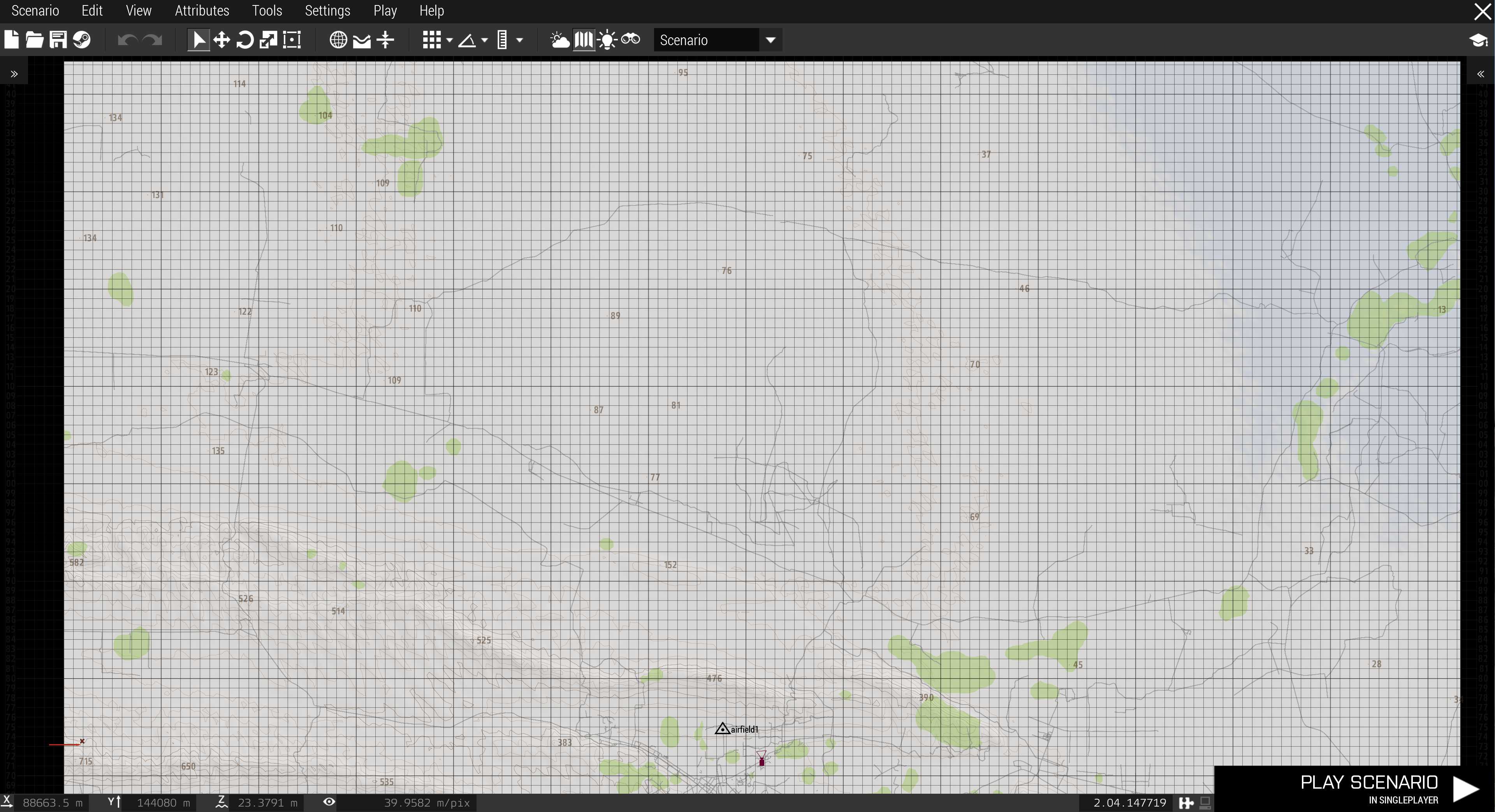
Took in-game mapview screenshots to show elevations, roads and forest blobs. First northern section.
Then southern section.
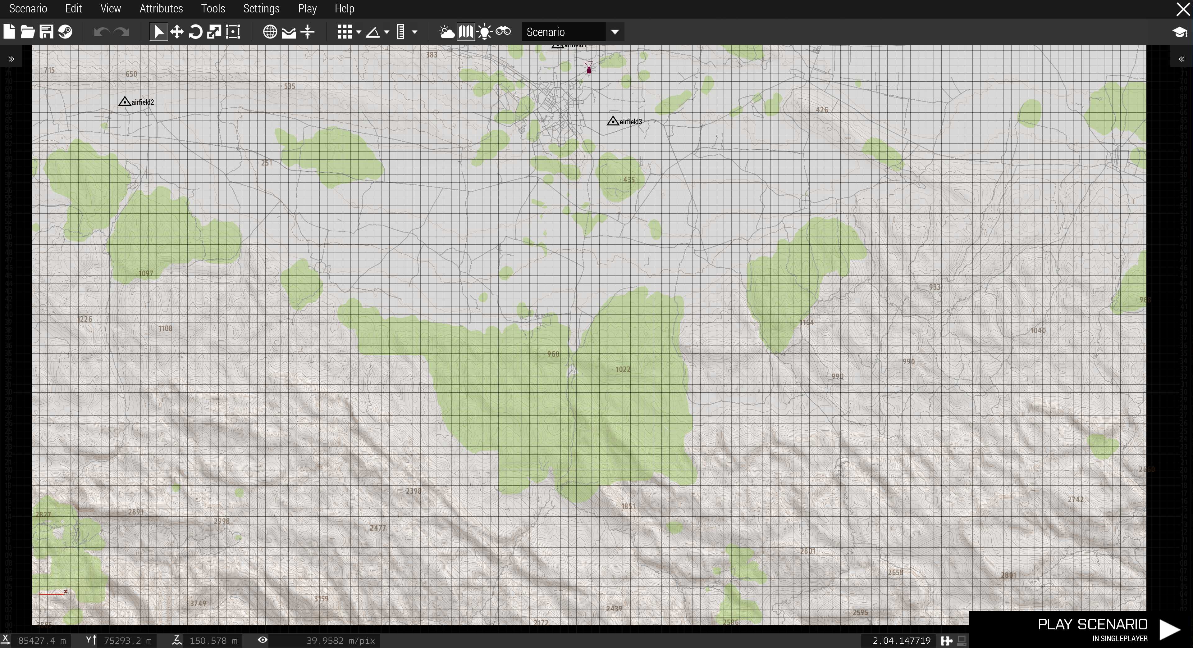
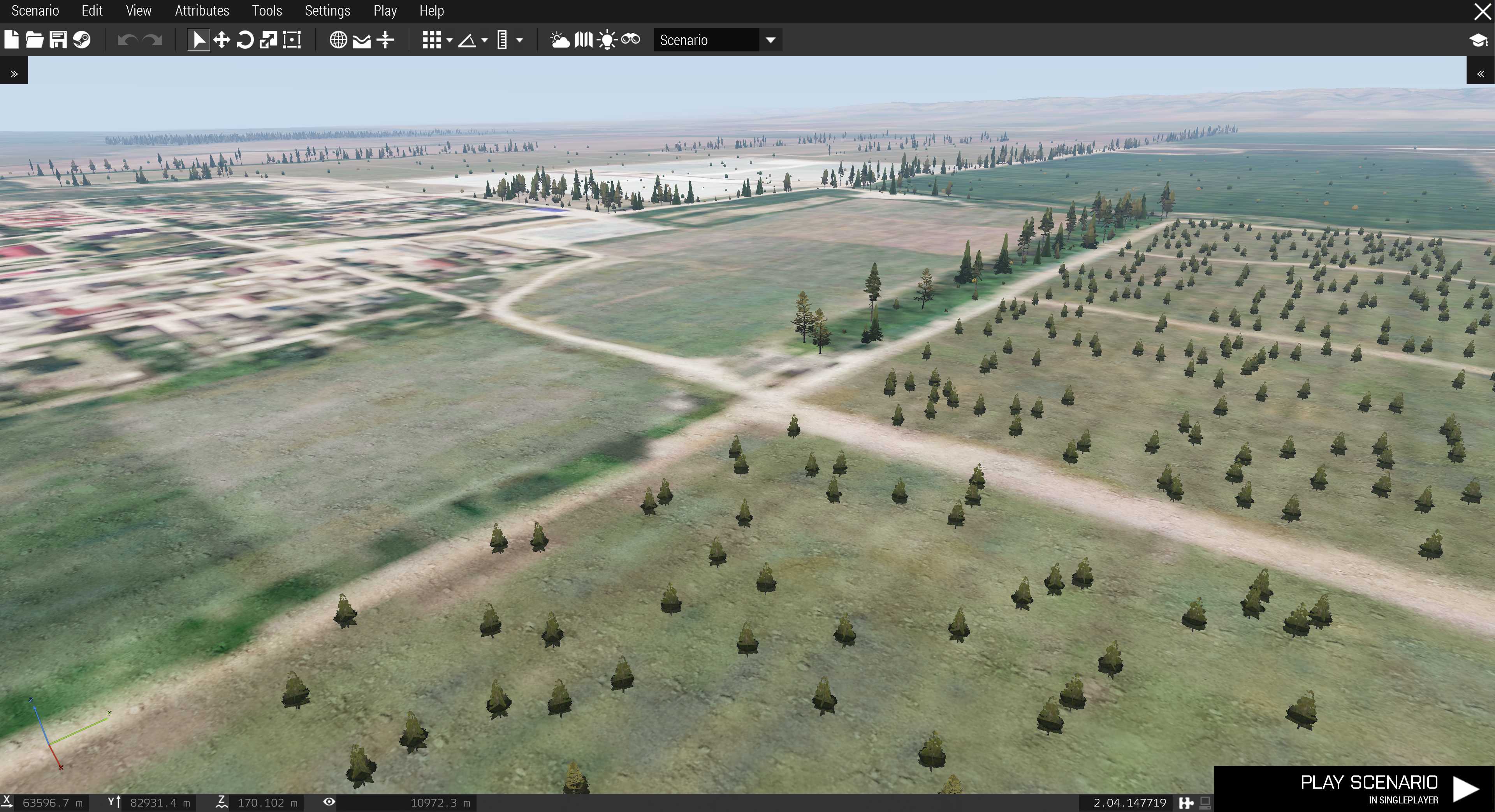
Quite large forests in this terrain, nice. Still overall vegetation coverage is perhaps low, should be no problem to get thick forests done, maybe.
Verified what I'm seeing in-game to my bugs list and it seems to match pretty good, did not find any new issues which is good.
Found several more satellite texture ArcGIS world imagery Black Tiles when carefully scanning through the mapview with texture turned on. Surprising.
Three airfields were on ... config.cpp class names{} but they looked like something out of Terrain Builder Keypoints as they had completely wrong icon.
Discovered that satellite mask is probably missing or something wrong with layers.cfg because its the same for everywhere, looks like the default first stratis Ground Detail Texture (GDT) / clutter config. Looking at Global Mapper directory which is the satellite source, there are GIMP source files and Sat_Mask_* full set of tiles, so apparently I did create these in 2020-12-04.
After in-game test is completed I need to go over those images and verify why mask all looks the same.
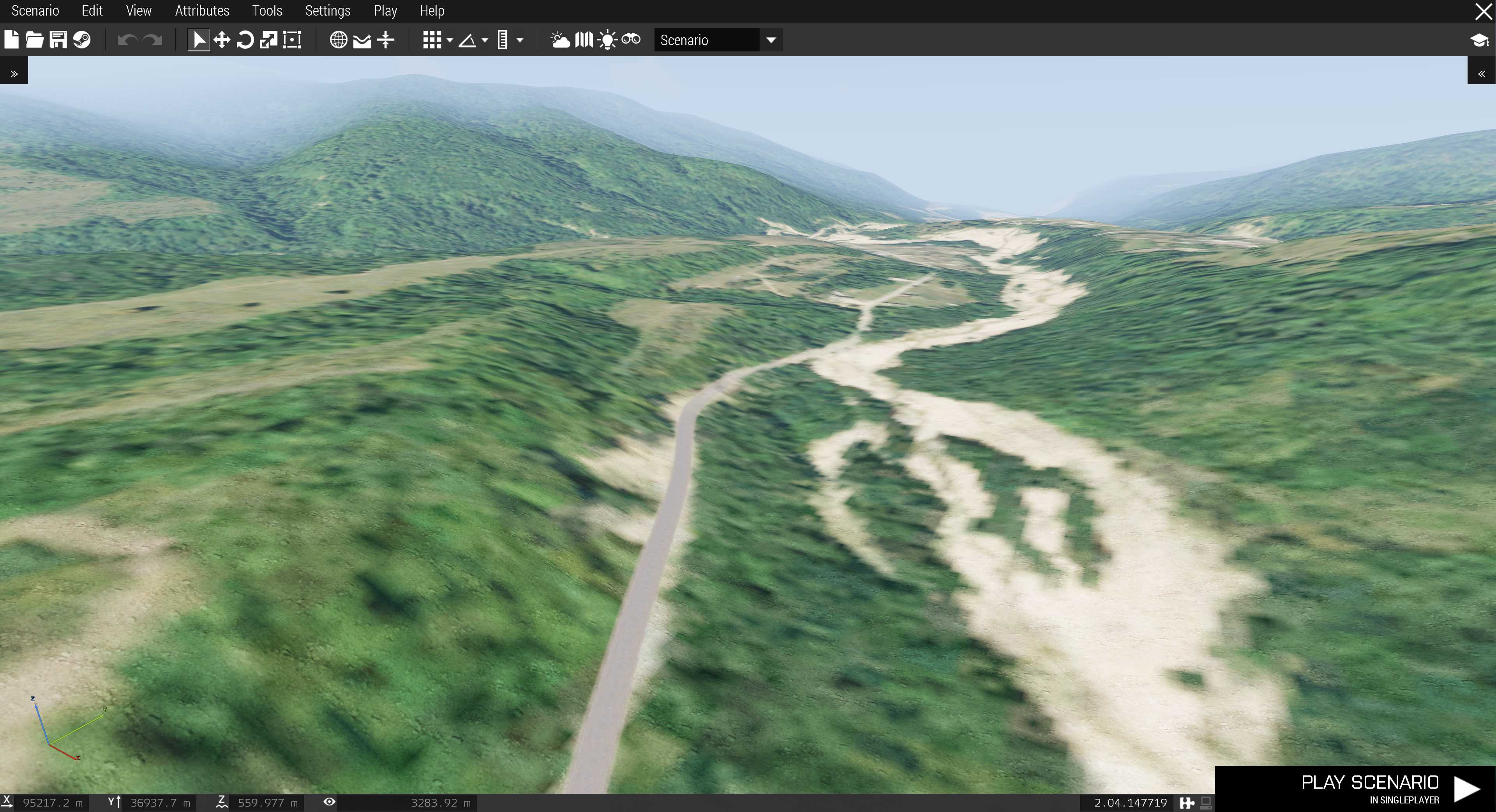
Roads look okay, width is matching good.
Found some unique locations from OpenStreetMap (OSM) shape file data which created very nice vegetation, it would be shame if I remade everything using just GIMP satellite texture painting to create a mask with more detailed vegetation coverage. Of course in the end it would be better, but man it would be a lot of work.
That looks pretty decent for coming straight off of OSM download data.
2021-10-04T22:11:00Z In between here I checked out PMC Libya Msallata in-game as well and had a lunch. Now back to grozny. Looking at the files and local notes, Terrain Processor generates 5.814 million objects using OSM vegetation shape files with 50 hectare density.
Satellite mask, I had all 4 x 4 global mapper style grid tiles for mask in BMP image format. The RGB colors used was: 50,50,255 ... literally, all and I mean every single one of the tiles were just that, RGB 50,50,255 heh, ouch, yeah guess its technically a mask... but just not very good one ![]()
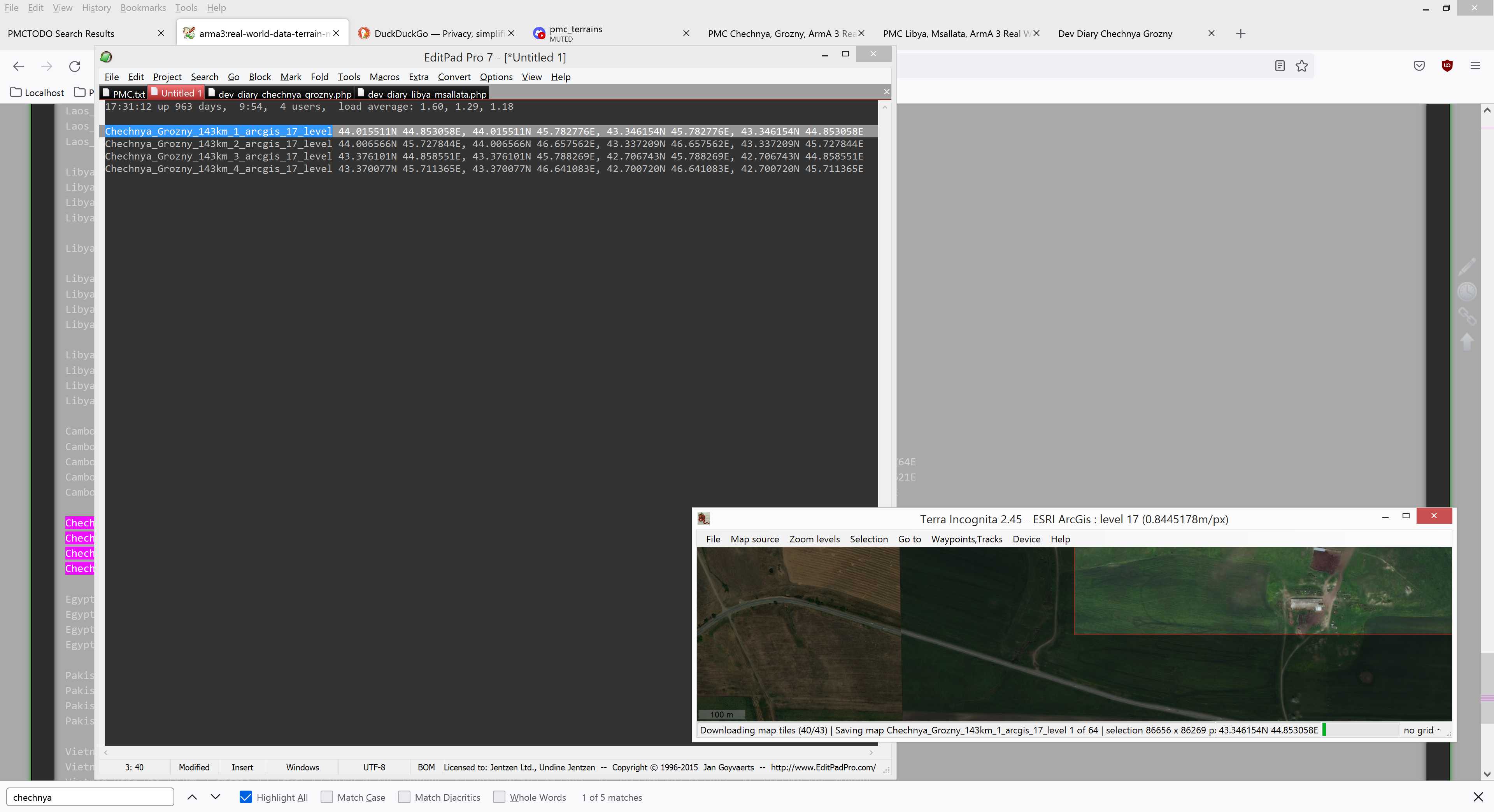
Also I only had GIMP XCF images for sat_A1-A3, B2, C2 and D1-D3. So whatever I'm going to do with satellite texture or mask, I need to re-export that whole thing from global mapper. So I might as well Terra Incognita re-download the arcgis 17 level satellite imagery just to fix those black tiles.
2021-10-04T22:32:00Z Terra incognita download of Chechnya_Grozny_143km_1_arcgis_17_level started. So now we wait, this will take... well probably all day I would say.
Because I already had previous satellite imagery downloads I then loaded this project in global mapper and started to export satellite images, it was 2020-10-30 downloaded ArcGIS world imagery 17 level download.
Edited mod.cpp because it had outdated satellite resolution listed, also added official homepage link to the first description line.
Class names{} was empty so needed to investigate why. Well, it includes the three airbase names with type="hill" but found nothing else, I do these terrains with strict tool pipeline which includes making class names{} and if global mapper has no OSM layers then that suggests there is no usable data available.
2021-10-05T01:09:00Z Data was downloading and exporting, this is a perfect time to grab some chow...
2021-10-05T01:37:00Z global mapper finished exporting.
2021-10-05T01:42:00Z Feeding time over, lets get back to editing.
Downloaded russia northern caucausus federal district OSM data from Geofabrik OSM. Ran them through global mapper transform and export procedure. Used PMC OSM Places CSV2HPP Converter to create arma3 config.cpp compatible text. But this whole process was a bust, all the names were in hijo de puta commie scum language and when ran with our tool it crashed, there was 545 entries and one of them had some bad data. Decided to forget whole location / place names setup because who could understand what those cyrillic garbage chicken finger characters mean anyways.
Checked out OSM landuse shapes, they were much better than in the 2020 data, so cleaned them out and exported new OBJ_ shape files. Was browsing some of the farmland, forest and meadow etc areas and I must say they are really accurate, sure there were some with sloppy shapes but overall, very impressive. I definitely need to re-download OSM data for other terrains maybe even yearly basis and check them out, they might surprise me with detail.
2021-10-05T03:20:00Z Took backups from the whole chechnya_grozny* Terrain Builder project dir, just in case I would mess something up. All the current files mounted up to 21gb uncompressed, 7-zip of course pushed the shit in real TiGHT.
Scanning the drive:
25 folders, 22468 files, 22511356711 bytes (21 GiB)

Creating archive: 2021\PMC.Chechnya.Grozny.Terrain.Builder.Project.2021-10-05T0319.7z

Add new data to archive: 25 folders, 22468 files, 22511356711 bytes (21 GiB)

Files read from disk: 22467
Archive size: 19876459907 bytes (19 GiB)
Everything is Ok
Gotta love 7-zip compression.
Global mapper assigned colors to all OSM vegetation shape FCLASS umm features.
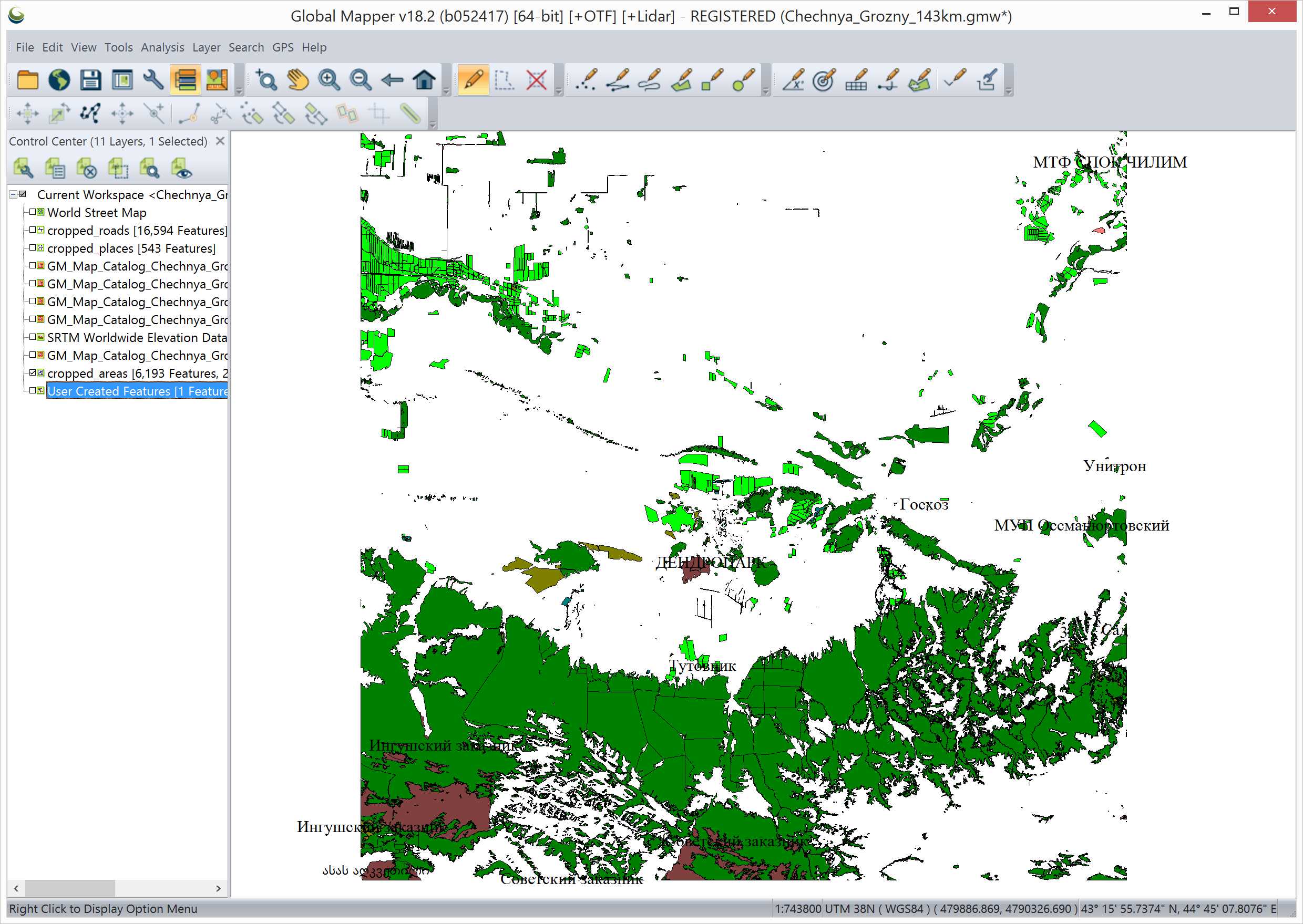
Now that looks so nice.
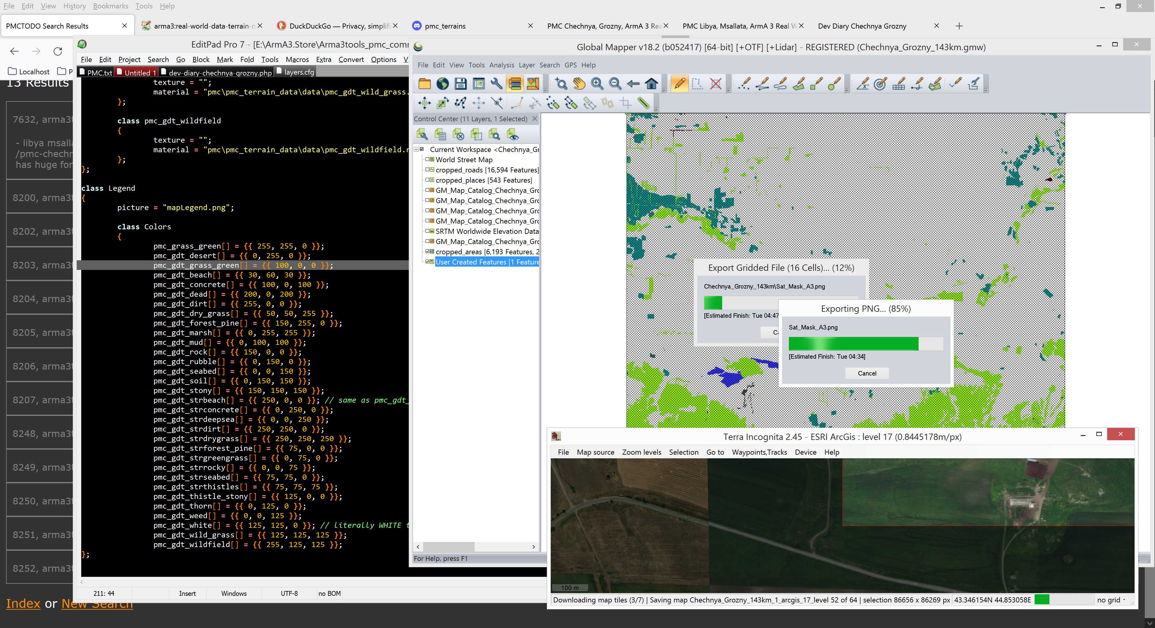
Assigned same RGB colors to the terrain types shapes as PMC_Terrain_Data layers.cfg config file has. Then exported Sat_Mask_ from this layer. The area which has no shape coverage will be white, hmm I need to figure out how to fill in that some "filler" layers.cfg RGB color, maybe like grass or something neutral.
Brought the OSM shape files to terrain processor and ran the existing Terrain Processor TPP Templates into them, had to tweak some roads.shp directory settings but after that all ran smooth. Forest generated with hectare density 1 total of 466k objects.
Created GraphicsMagick bat file to convert Sat_Mask_*.png images with while color RGB 255,255,255 into BMP image format with RGB 250,250,250 color which is layers.cfg pmc_gdt_strdrygrass class. Then ran it. Edit: 2022-04-25T06:37:00Z, this bat file ended up being used in all the 2020 released PMC terrains. Good bat ![]()
2021-10-05T06:01:00Z Terra incognita finally finished downloading NW corner, the immediately started to download the next corner ![]()
In terrain builder started to refresh from the source all Sat_Mask_*.bmp image tiles which I just converted with graphicsmagick, hopefully everything is matching up to PMC_Terrain_Data layers.cfg values.
2021-10-05T06:45:00Z Started to generate layers, yup satellite texture is not updated yet but it will take probably two days to get it downloaded, so I'm going to check how this mask work as of now, if any edits are needed then I can do those before new satellite texture is ready.
Then fixed Latitude / longitude config, it was completely missing so inheriting from stratis. Got the center coordinates for our terrain and converted them into arma3 lat/lon decimal numbers, just need to verify in-game that I didn't goof this up with the negative latitude north side of the equator thing.
2021-10-05T08:38:00Z Finished generating layers, now I'm dead tired, cant wait to get some well deserved sleep.
Continue reading page 2 or back to Dev Diary PMC Chechnya Grozny root page.
PMC Chechnya Grozny: Changelog, Dev Diary, Screenshots. Back to PMC Terrain's page.