2022-02-27T16:47:00Z This page created, this project started ![]()
Got the Global Mapper project started, UTM 37N zone (UTM Projection) switched and then it was decision time for how large terrain will this be, is it going to be a compact 40km just around the city or larger 81.9km with plenty of ukrainian and even some russian landscape around it.
Larger terrain means more floating point precision issue jitter.
2022-02-27T17:00:00Z Made a decision, 81.9km. Go big or go home, bitch.
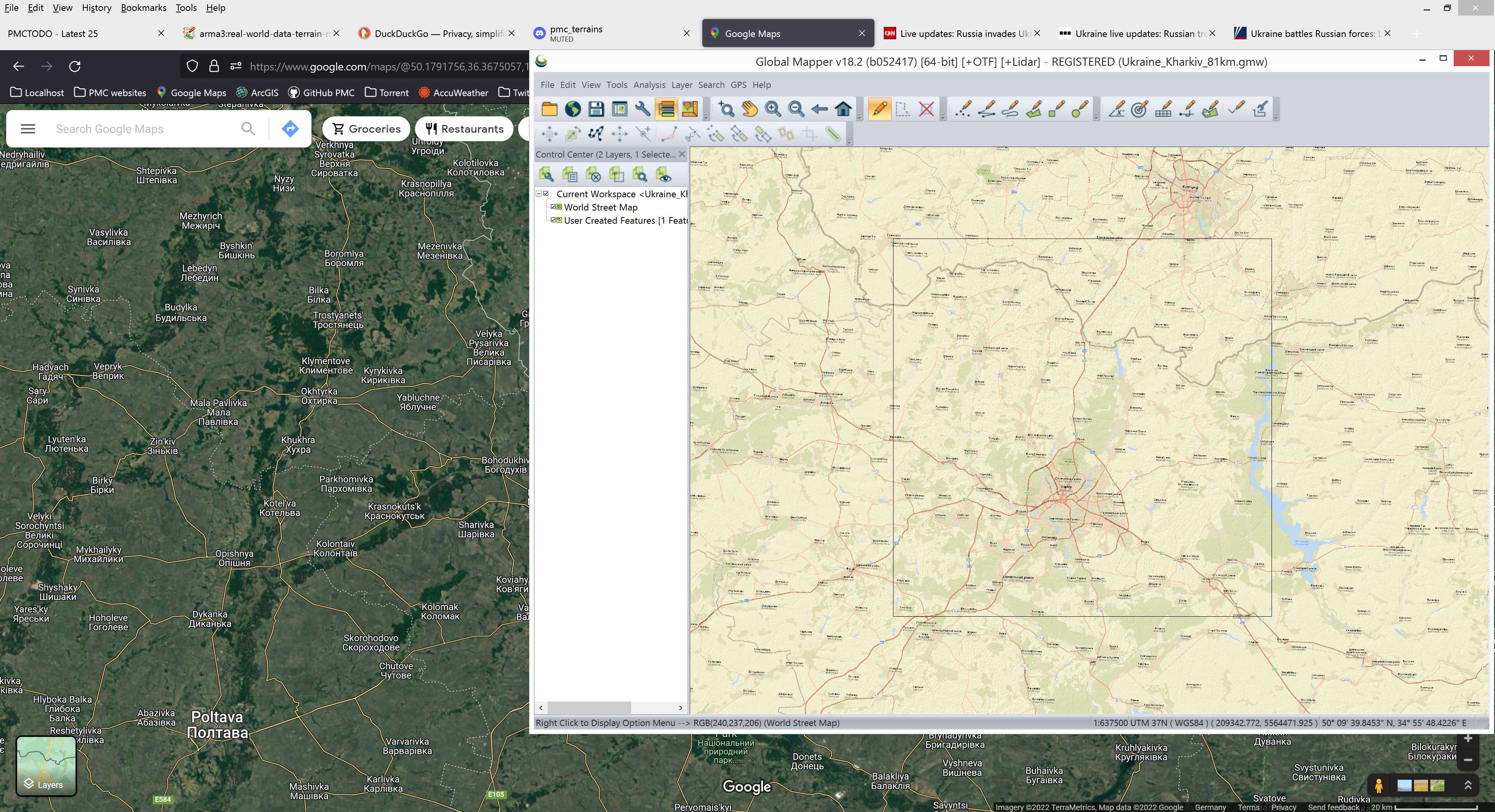
First thing after locking that user created grid into position, I exported KMZ Rectangle file and started Terra Incognita download. This way I can work on other things while terra incognita is slowly downloading.
2022-02-27T17:09:00Z Initial burst of tasks done. As said KMZ exported, terra incognita grid section 1 satellite imagery download started, then I added SRTM 1-arc-sec online source and exported ASCII Grid heightmap.asc file.
Then, well then I jumped back to PMC Ukraine Kyiv editing while terra incognita was doing its thing ![]()
2022-02-27T20:15:00Z Terra incognita grid section 1 finished downloading. Starting grid section 2.
Continue reading page 2 or back to Dev Diary PMC Ukraine Kharkiv root page.
PMC Ukraine Kharkiv: Changelog, Dev Diary, Screenshots. Back to PMC Terrain's page.