Hey everybody,
Just like always I arise from underground and post a couple of messages...
I just want to point that I made photoreallitic theater once in the past, I could even maybe search for it and upload it to rapidshare so you all could test it.
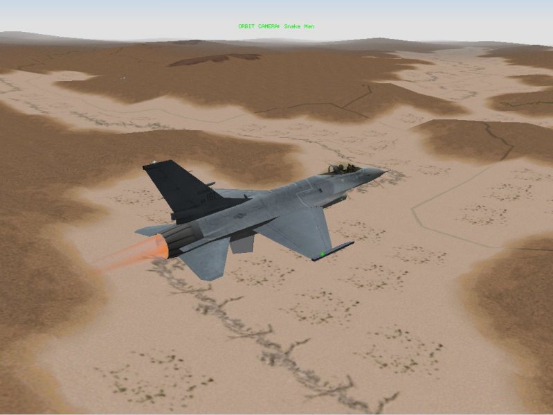
For those who remember I first tried with Nevada in 2002, taking all photoreallistic textures out of Jane's USAF, the result was quite good but then it apeared the (famous for me) 4096 maximum number of tiles error, there was a maximum of 4096 tiles in texture.zip (or texture.bin)... more tiles gave as resulta bunch of weird corrupted stuff.
Incredibly the screenshots of Photoreallistic Nevada are still in photobucket, I should upload everything there because it's more realiable than my own computer

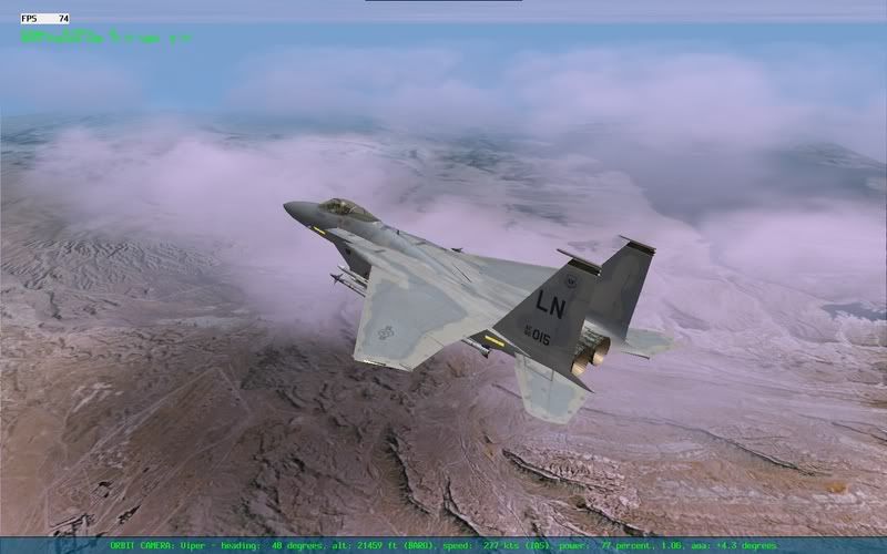
This project represented 4096 km^2 of las vegas and surrounding area, decript USAF database of images was quite easy and for getting the exact size of the tiles I just had to use a couple of simple matematical rules.
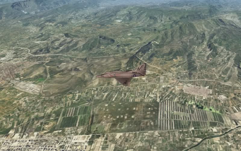
Then, one or two years later (after one of my big breaks out of falcon world) I did in a couple of evenings a "just for fun" project, it was the Spanish Canary islands, again I don't know why but the gallery is still alive (in Photobucket), for those of you that want to check the screenshots of that project you can do it here:
http://smg.photobucket.com/albums/v736/ ... ds%20test/
BTW, I tested this one on Falcon AF and it worked perfectly, at that time BMS and Falcon AF terrain system were not so different... I don't know about now.
For this I used 2x2 km size (4km^2) per tile, this way I could represent 16384 km^2 with 4096 tiles, more than enough since the surface of the islands were around 8000 sq km but now the problem was that the terrain grid resolution was too low and the mountains were kind of ugly... about how to calculate this exact number for google earth I can help you since it can be done with a few calculus.
All the imagery for the canary islands was taken out of FSPLANET CANARY ISLANDS for flight simulator (
http://www.fsplanet.com/mainstore8.htm) ... FS2004 and so on imagery database is hell out of simple, its based on quadtree of deep 15 and you can even made a tool for getting the Lat/Lon of each corner of the tile (and put them all together).
If you are planning to do a photoreallistic terrain I highly recommend to use FSPLANET's sceneries for FS, all the terrain is already worked in gamma, contrast and so and the results will be really nice.
A little bit later the 4096 problem was supposed to be fixed by BaldEagle although, from what I know, nobody has still tested it.
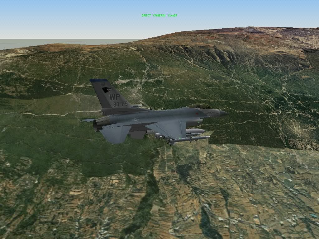
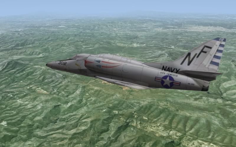
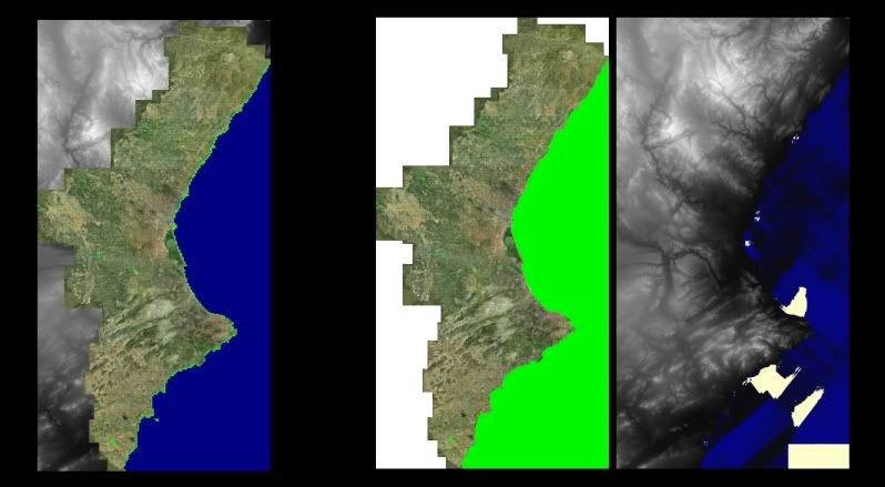
Around the end of 2006 I made my own simple flight simulator, I used FSPLANET scenery of Valencia community (
http://www.fsplanet.com/mainstore14.htm) and I have a document explaining everything of the project (even how to get image data out of FS, BTW, the document is in spanish), even the source code (although the data is 4GB) if anybody wants it, I'm open source guy
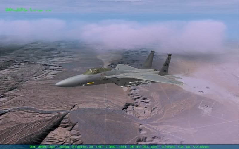
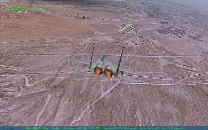
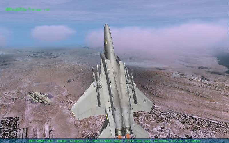
Here are a couple shots of this project:
I just want to point out that doing a photoreallistic theater on Falcon is hell out of difficult because its terrain engine (i don't know any changes in Falcon's terrain engine in the last years).
Even if you can sort out the 4096 max tiles error and do all the tiles for a terrain with 100000 sq km (that's 100000 tiles) you will have a HUGE problem setting path data, water data, packs, etc, etc and worst of all is that you won't know if it will work at last (because falcon engine has lots of secrets).
About performance in Falcon with Nevada I remember it runned quite good on BMS 1.03 ( or something from the middle ages or around the dinosaurious) with a Voodoo3 at 20-60FPS in Tactical Engagement. Now it should be ok.
I made the falcon photoreallistic theaters with an auto cropping/tiling tool and it was really fast (after configuring the files needed) 30 seconds more or less. Configuring the files was about one hour. I don't know where the hell I have the source code but I can search for it or even I can remake it, it was quite easy.
Next step was gonna be to make a auto path maker out of ArcGIS data, but I never reach that point... I'm lazzzzy
Well, this is all I can contribute, I just wanted to give my 2 cents.
Best regards for everybody,
Tomás --- AKA Com_GP